The City AV Index
How ready is your city for autonomous driving?
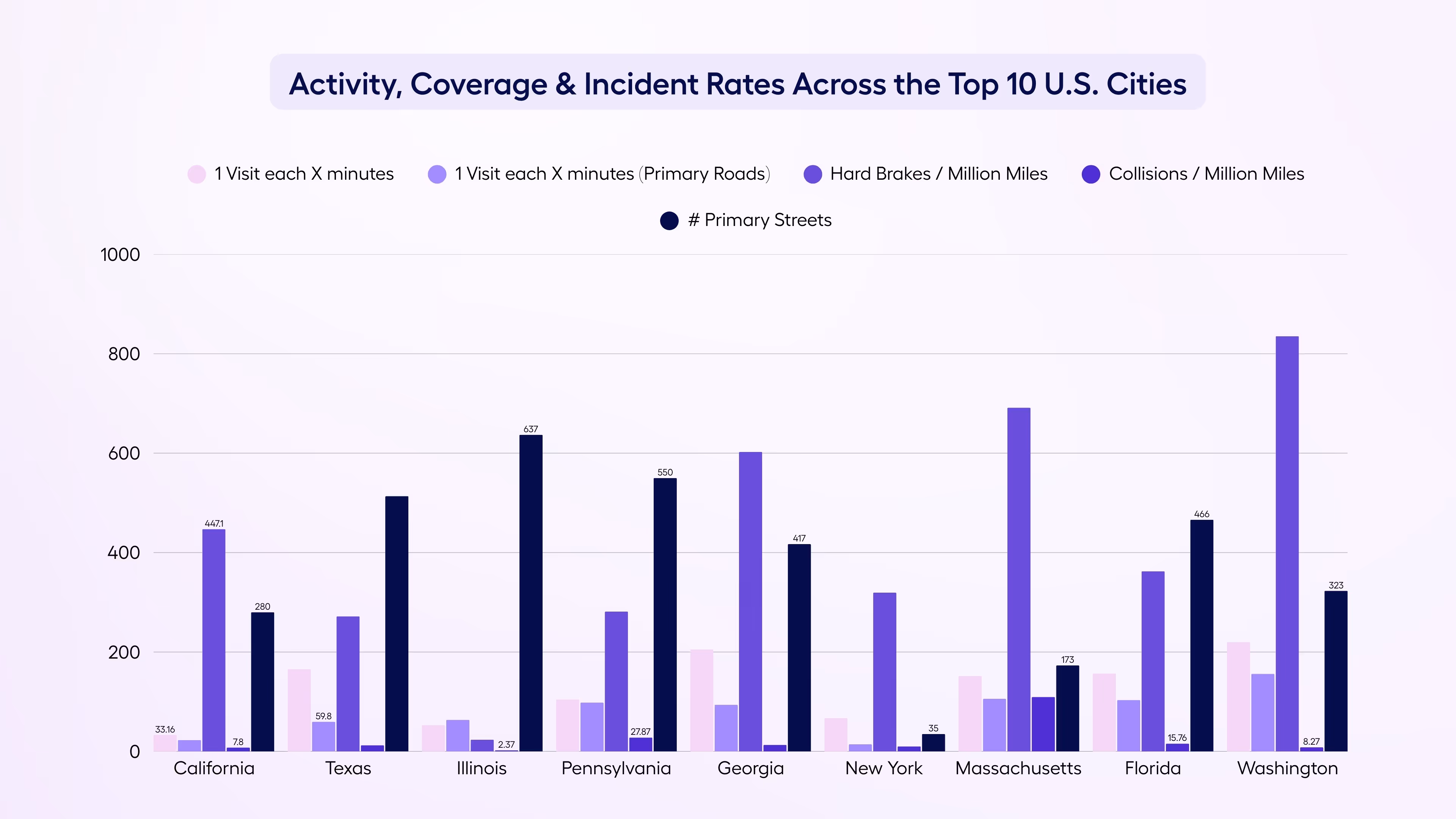
Nexar’s AV Readiness Index measures every U.S. city through the lens of real-world driving—leveraging 10 billion miles of human driving behavior, monthly data freshness, and block-level risk signals
57.6
New videos every second
10k
Collisions analyzed monthly
99%
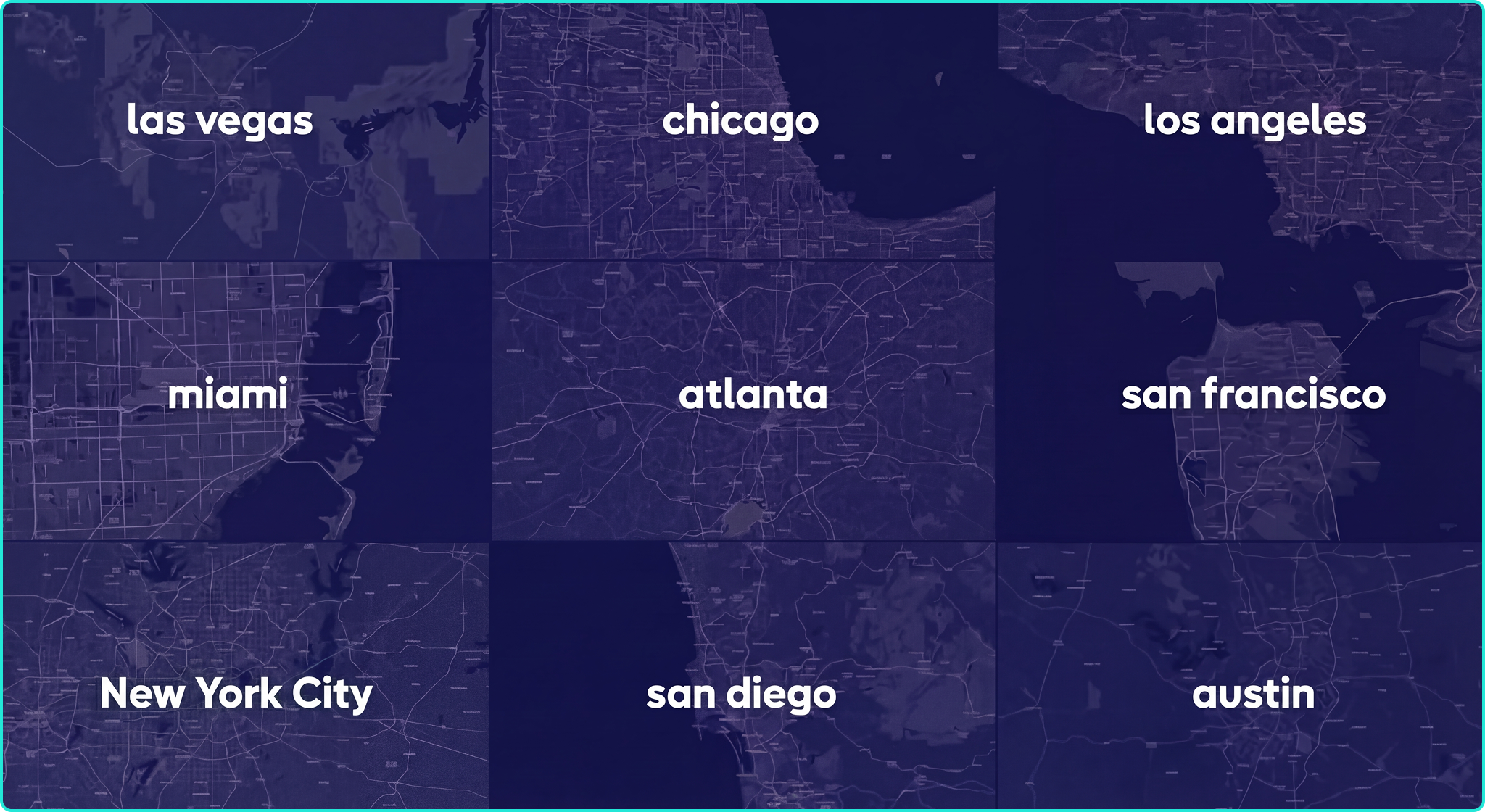
City coverage